Lots of rain in NWA


Beaver Dam with flood gates open
  
Look over the flood gates
  
Beaver Dam flood gates open
  
Beaver Dam
  
selfie over the flood gates
  
Horseshoebend campground under water
  
closed camp areas
  
panorama of campground
  
Our high ground camp
  
Rissa fly fishing Roaring River
  
Horseshoebend boat ramp closed
  
Horseshoebend picnic area
  
Horseshoebend sunset
  
Horseshoebend sunset
  
Bluff near Monte Ne
  
Low ground campsite before flood
 

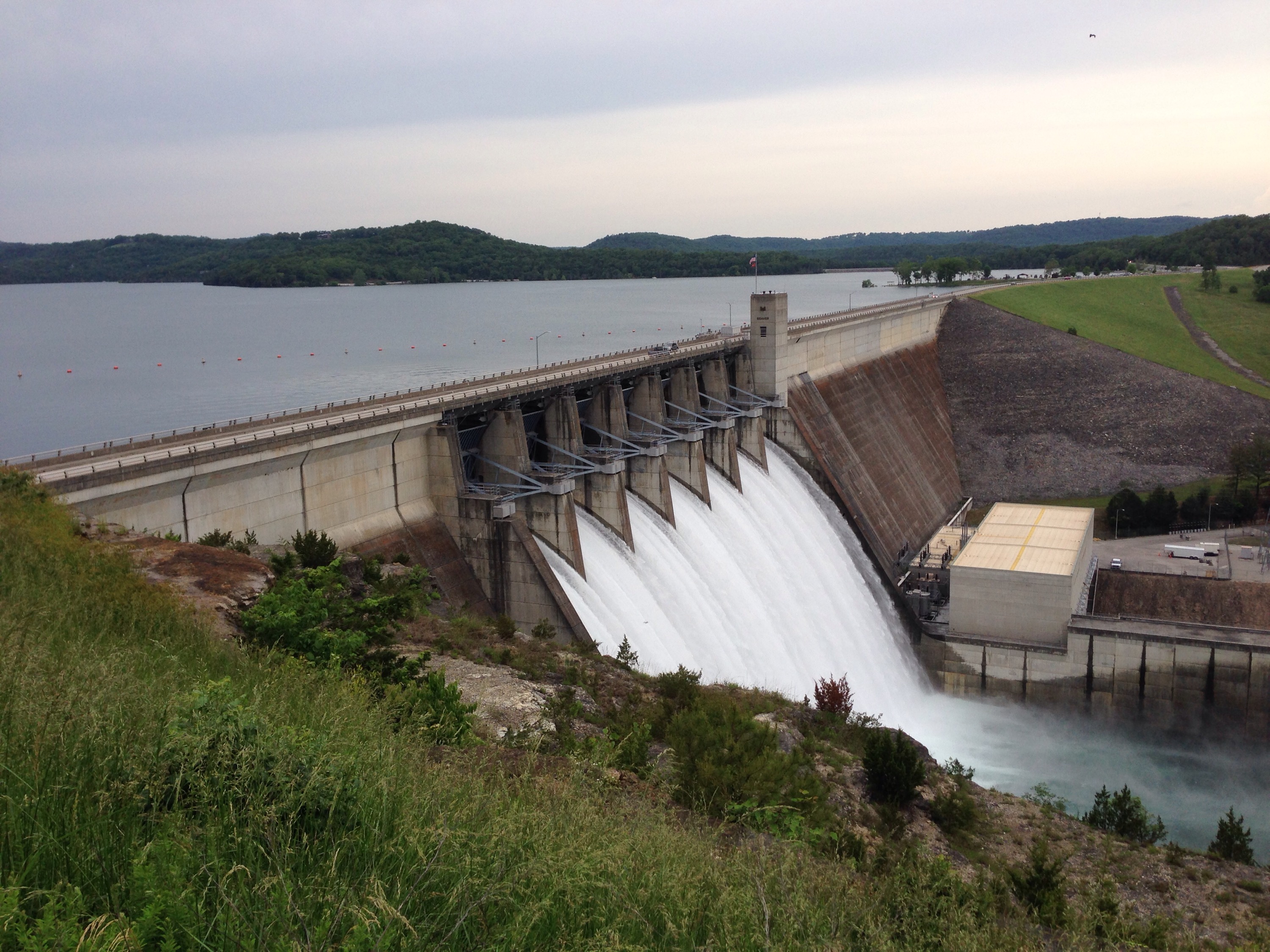
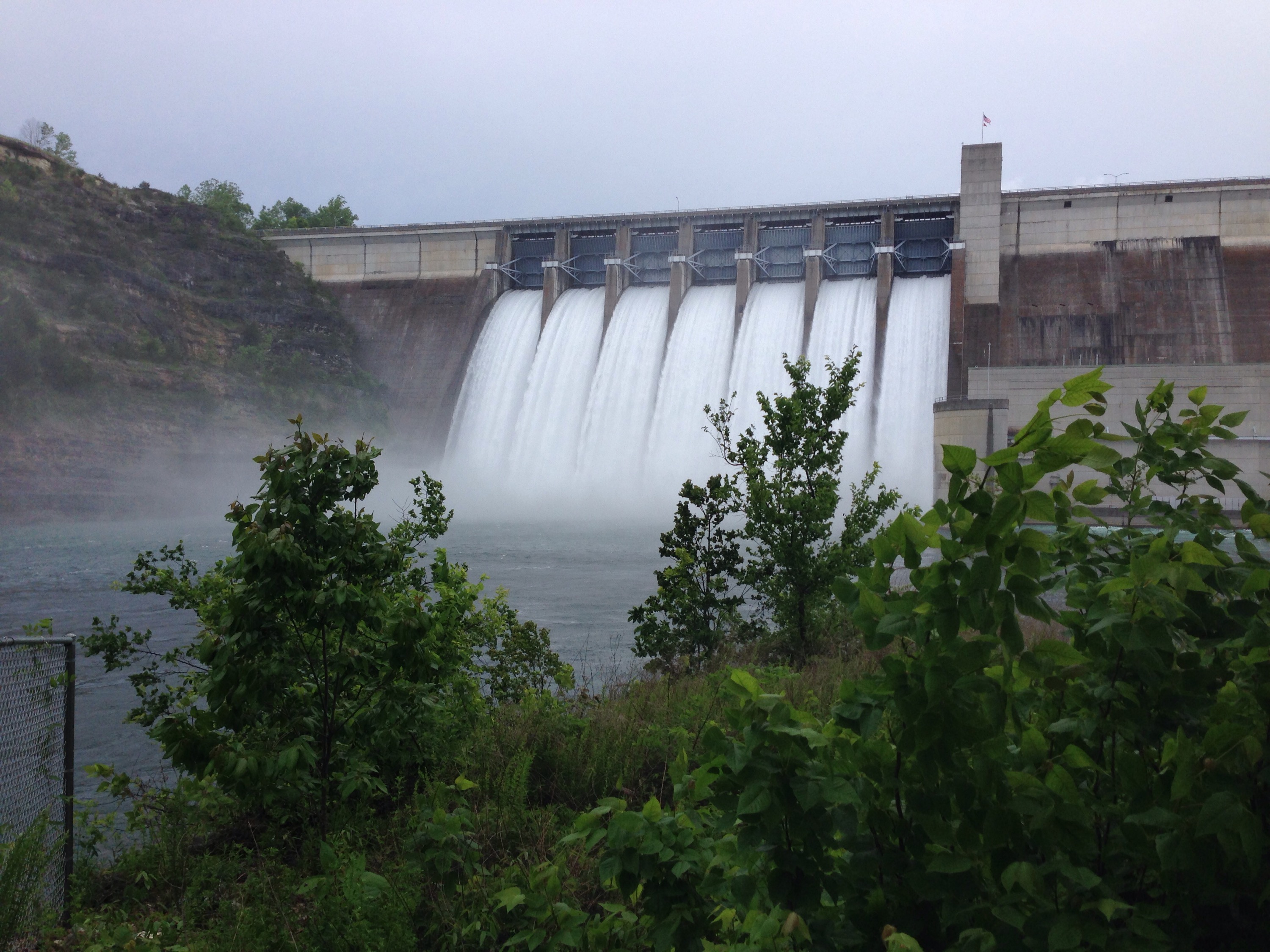
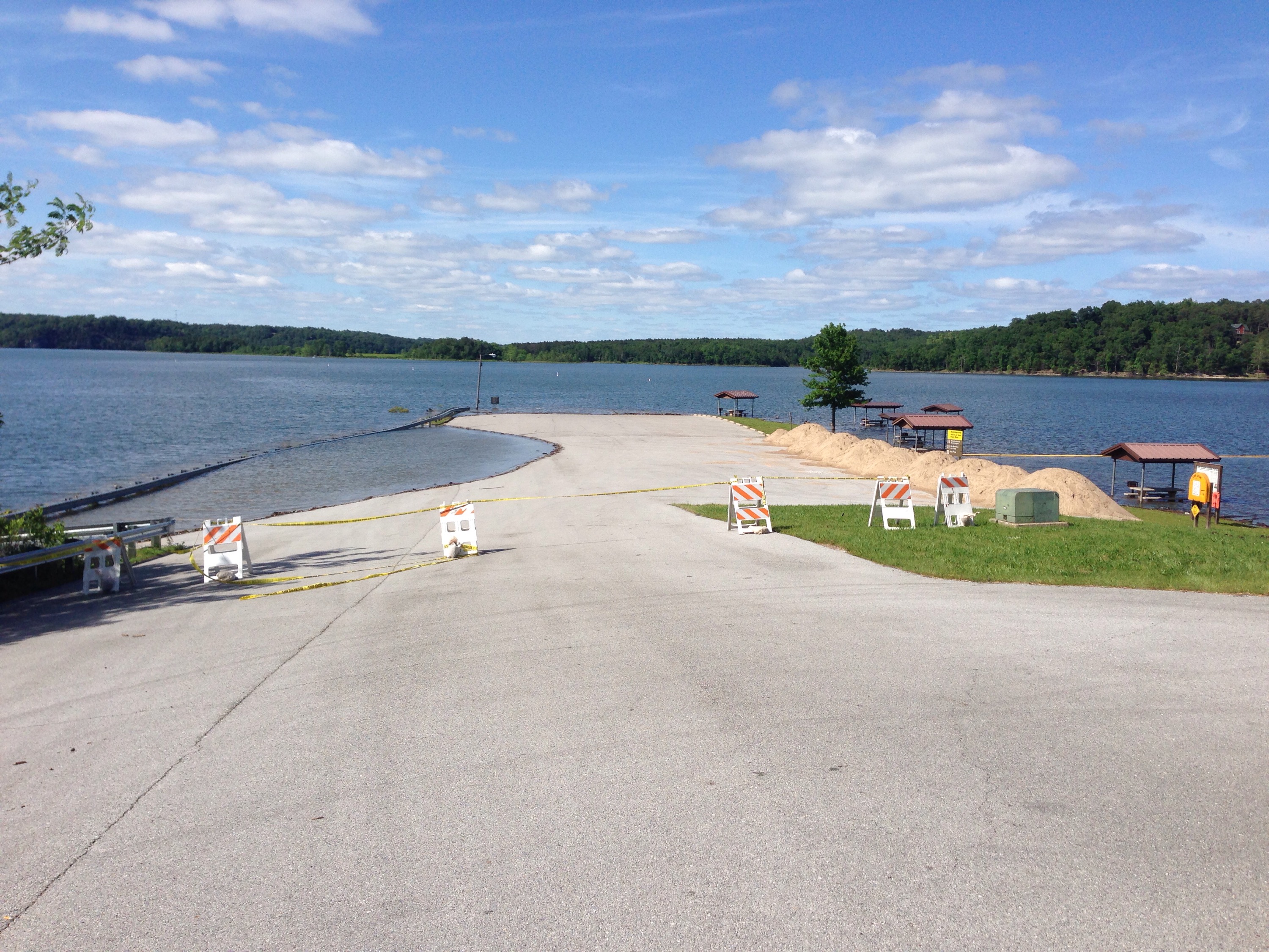
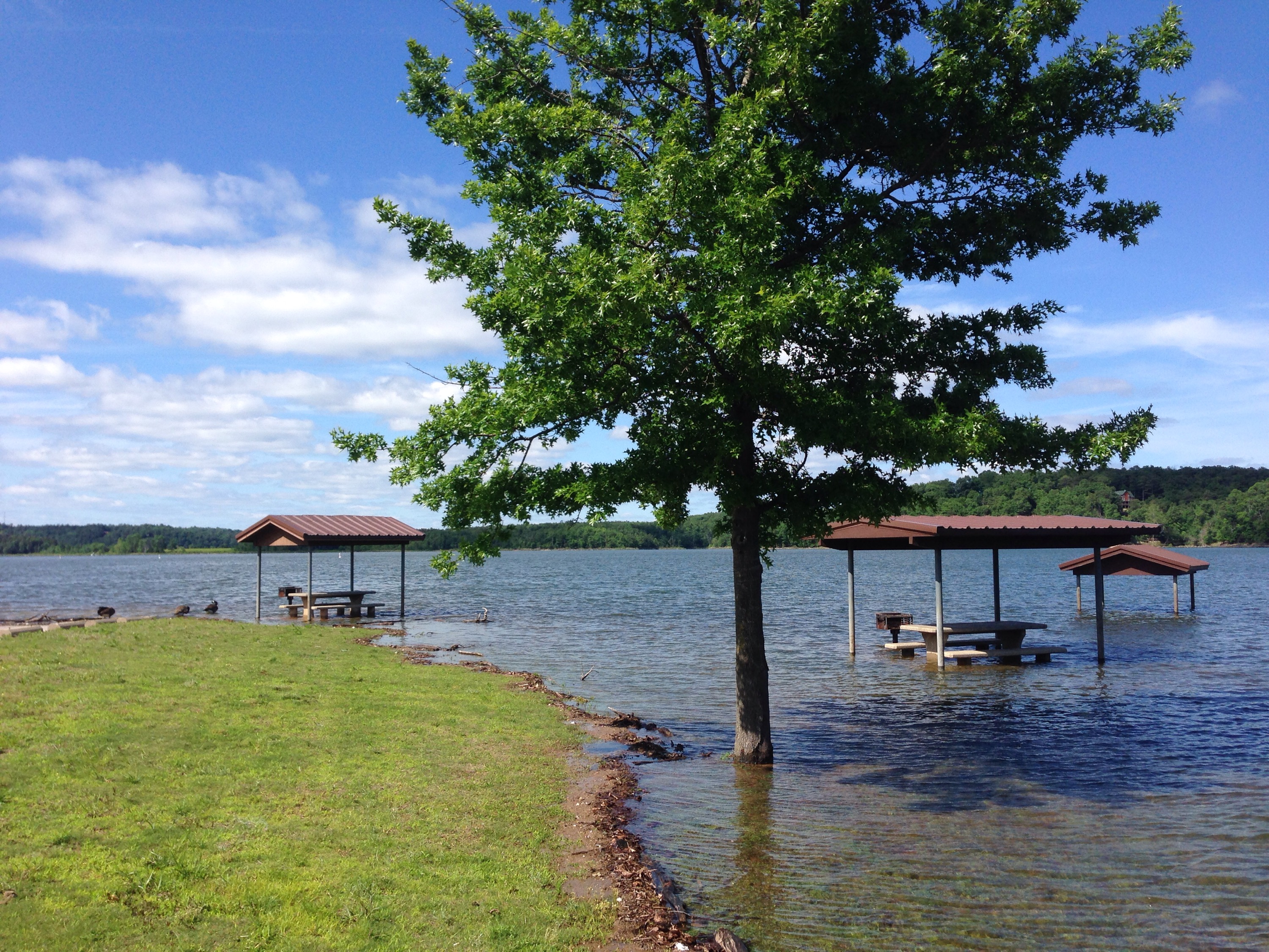
Spent the last week camping at Horseshoe Bend on Beaver Lake here in Arkansas. We have received a ton of rain in the last two weeks. The lake level came up about 3 feet in the week we were there. They ended up closing the peninsula first come camping area on Tuesday so we had to move up the hill. On a Memorial Day we were asked to leave because the high road had six inches of water and was rising. The Corp of Engineers ended up opening the flood gates on Monday afternoon. 

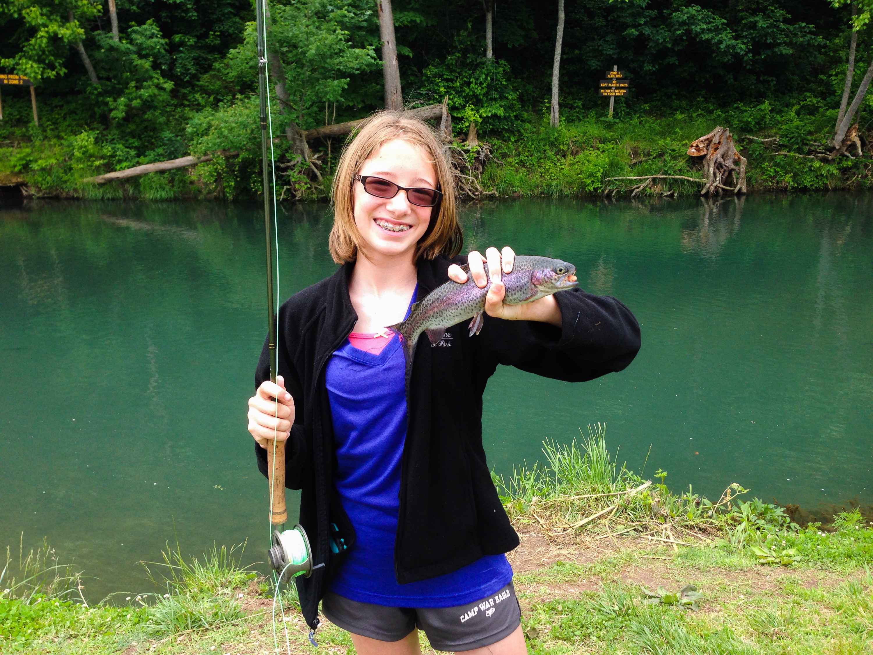
Tried fishing a couple different times around the rain. Roaring River was high as well with limited visibility. Caught a few fish there. Fished the Beaver Tailwaters on Saturday and didn’t have any luck. First time I’ve been skunked there in a couple years. Didn’t even try night catfishing on Beaver Lake. 

Happy Fishing and Stay Trout Tough!

Erik-

Published by nwatrout

Fly Fishing Guide on the White River below Beaver Lake Dam, also known as Beaver Tailwaters. Located 10 miles west of Eureka Springs, AR or 30 miles east of Rogers, AR and Bentonville, AR off Hwy 62.

Leave a Reply

Fill in your details below or click an icon to log in:

WordPress.com Logo

You are commenting using your WordPress.com account. Log Out /  Change )

Facebook photo

You are commenting using your Facebook account. Log Out /  Change )

Connecting to %s